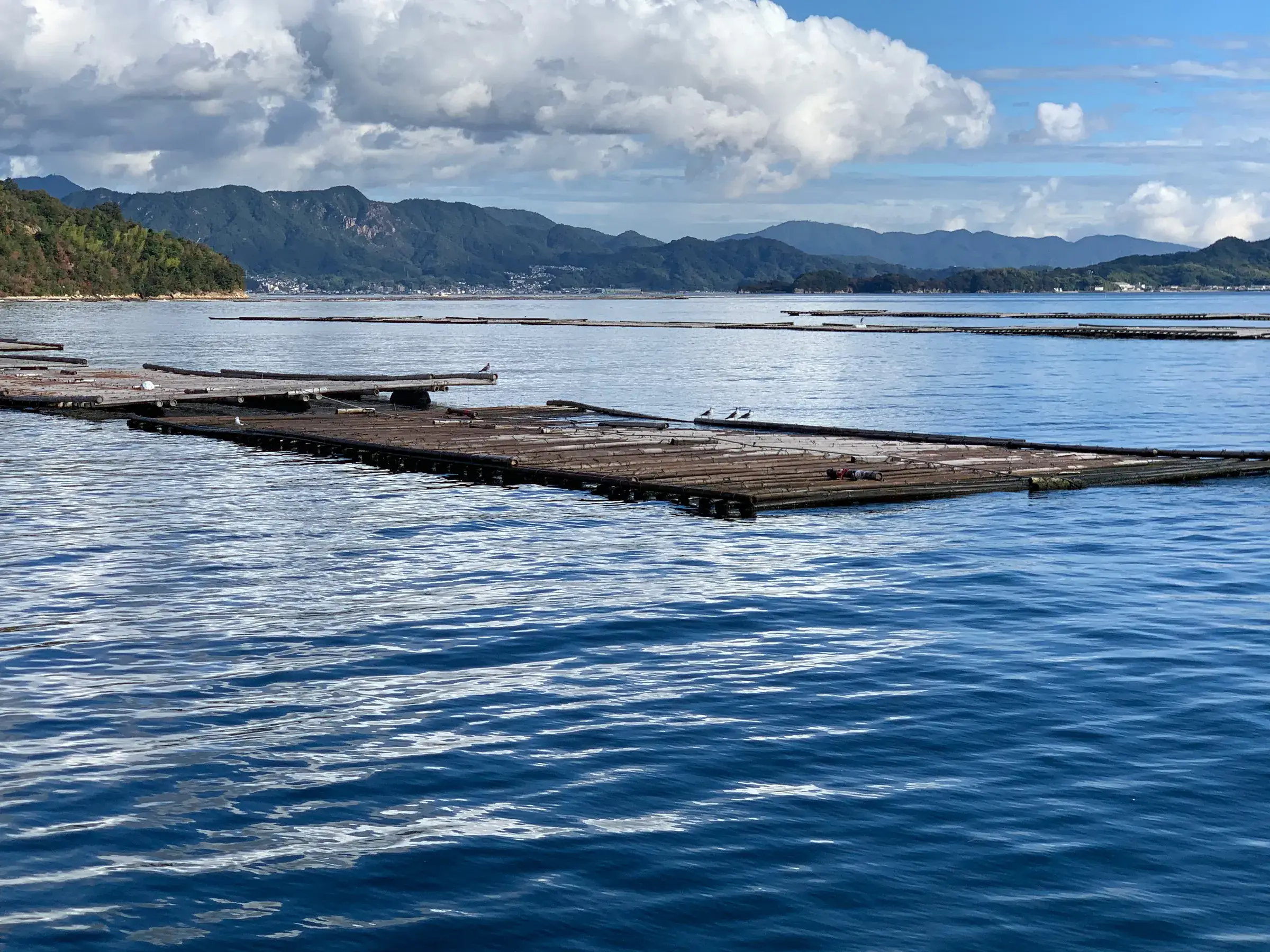
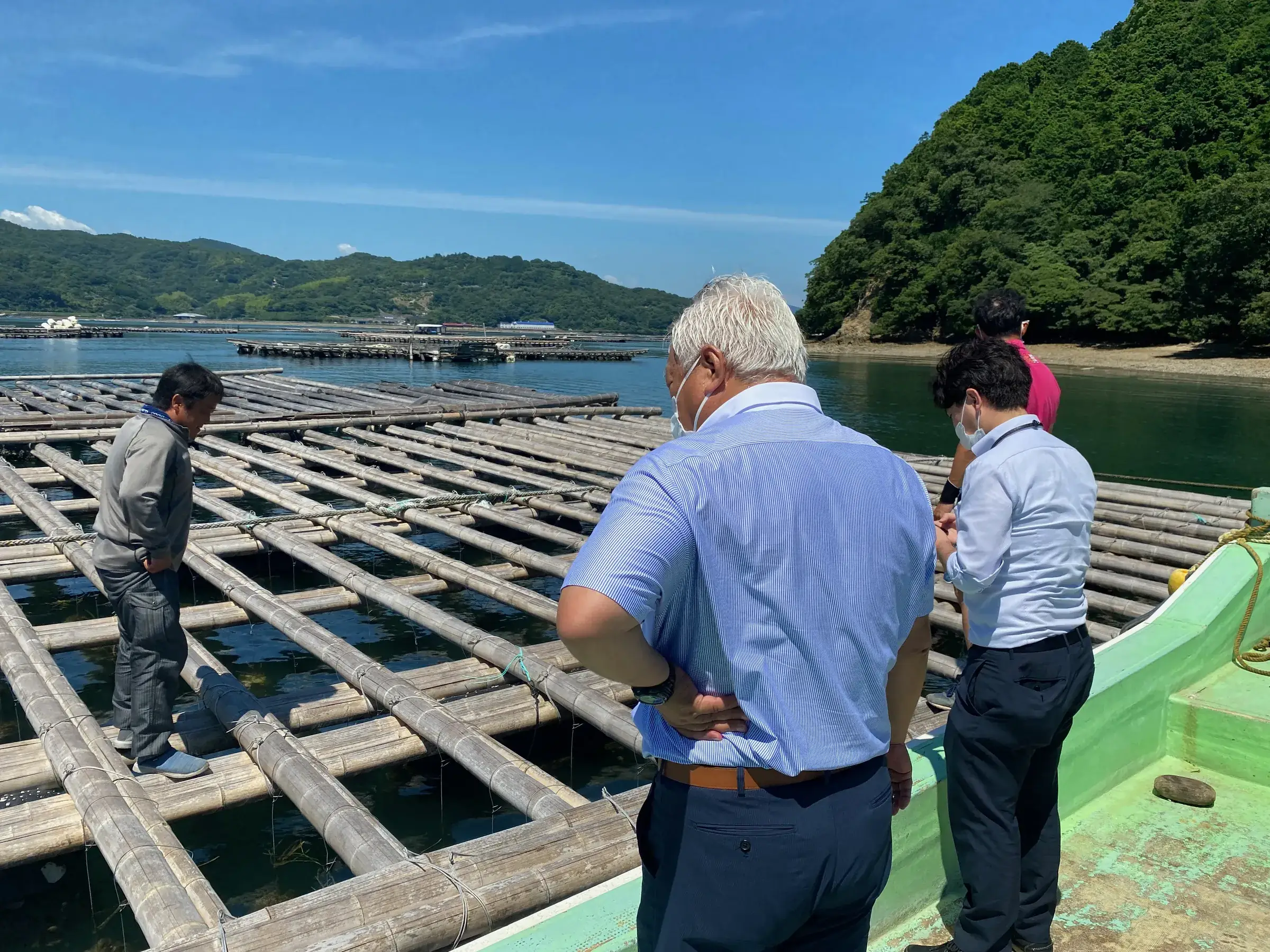
An oyster raft out at sea, with hills behind

OceanMap

OceanMap: oyster raft positions on a boat’s screen, from satellites and beacons

A system that shows the oyster rafts found by satellite on a boat’s screen. We are developing it as an aid to navigation when rafts are hard to see at night or in fog.

For people who run boats (pleasure boats, fishing charters, fishing boats and others)

Talk to us about this use

The problem

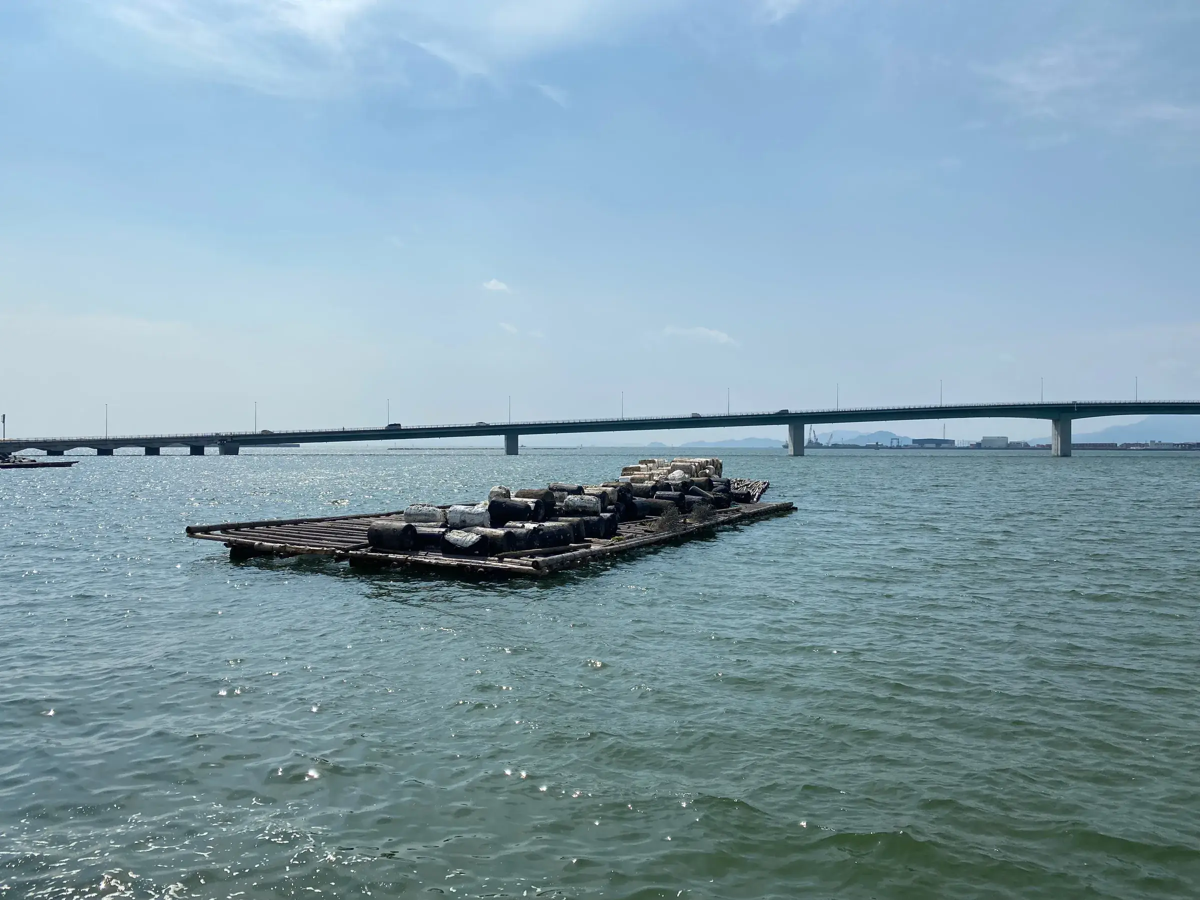
Hiroshima Bay is dotted with oyster rafts. At night or in fog, they are hard to see from a boat.

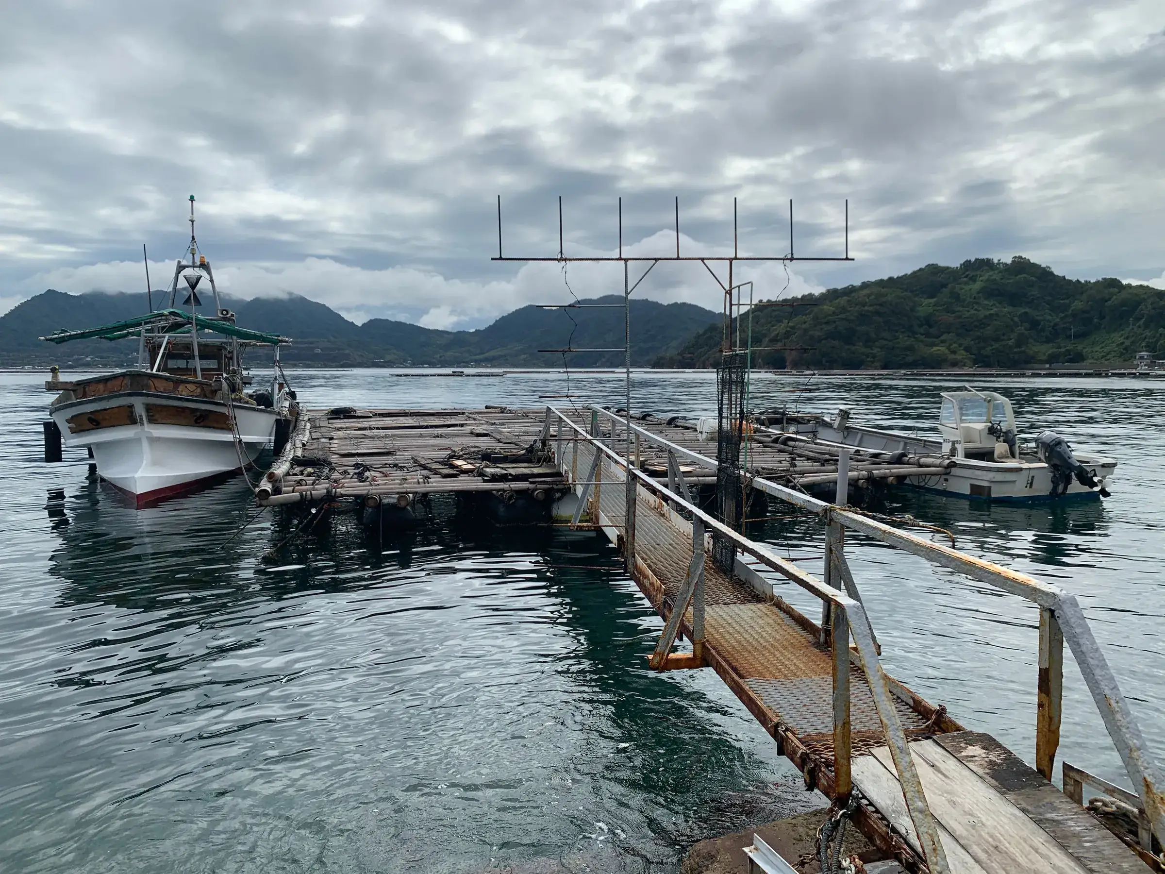
A raft at sea, with a bridge behind it

What we do

We analyse satellite data (radar images and other imagery) to find the oyster rafts floating in the sea. We are developing a system that shows their positions on a device aboard the boat, so you can check where they are even when they are hard to see. We are also developing an alert that uses the signal from beacons (IKAK) on the rafts to tell your smartphone when you are getting close. OceanMap is being developed as an aid to navigation, to be used alongside charts, radar, AIS and a lookout, not in place of them.

Finding oyster rafts in satellite imagery

Together with a laboratory at Hiroshima University, we analysed satellite data, combining radar images and other imagery. When checked against the rafts actually floating in the sea, our latest analysis found about 90% of the oyster rafts in Hiroshima Bay. Not every raft is found, so it is meant to be used alongside a lookout.

Two people on a boat looking out over the oyster rafts

Ground-truth data for the satellite analysis (checking against measurements, correcting offsets)

We are considering confirming where rafts are from the tracks of passing boats and from measured positions, and using this as ground-truth data for the satellite analysis. We are also considering putting a number on how far the satellite results are off and correcting for it, and building on-board equipment to check this in the sea at Kure.

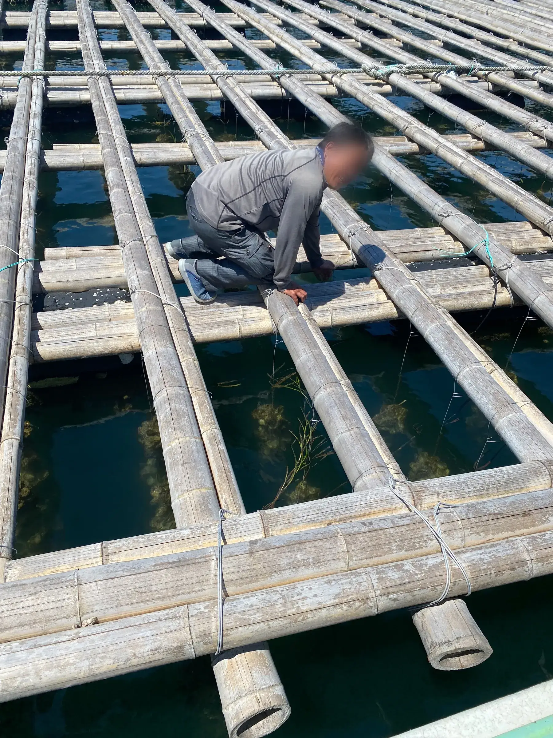
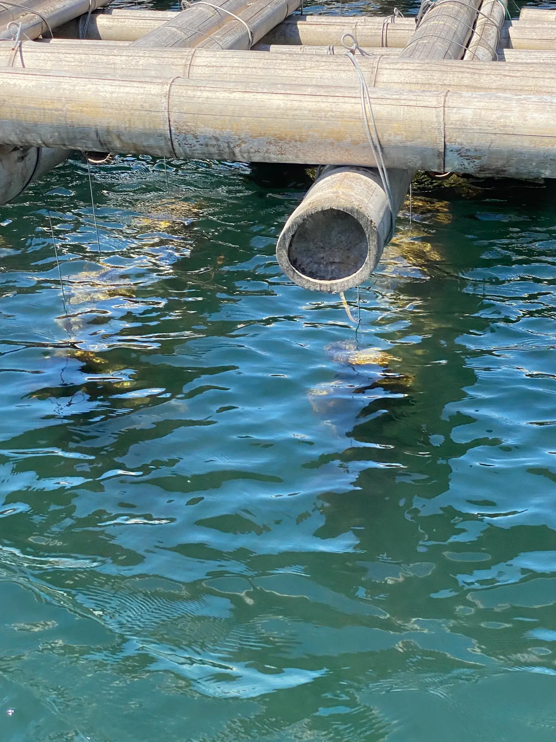
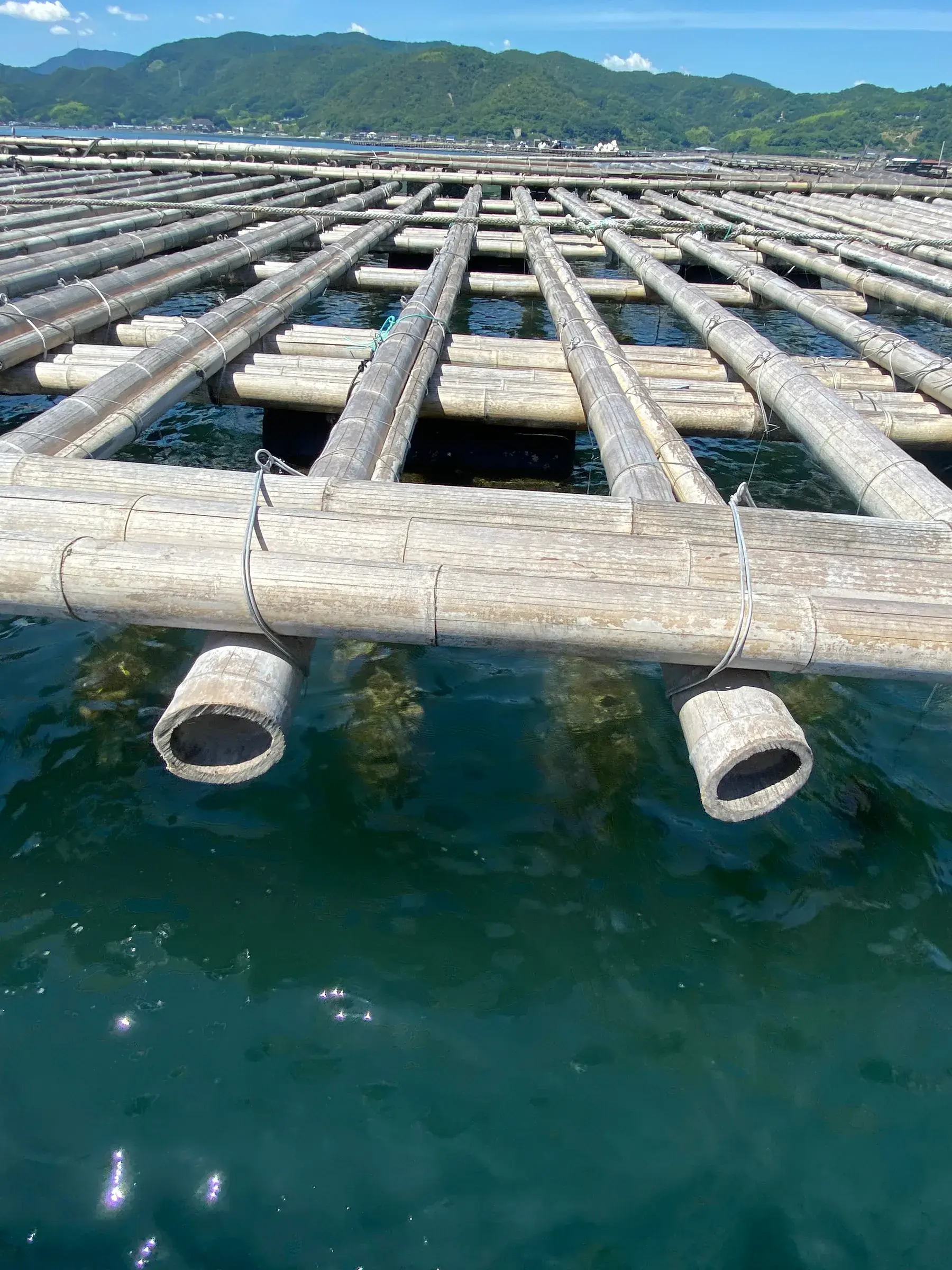
An oyster raft seen from above, with floats under the bamboo

A phone alert when you near an oyster raft

We are developing a system in which a smartphone running the app picks up the IKAK signal, uses its strength to estimate the relative distance to the raft, and sounds an alert when it judges the boat is getting close.

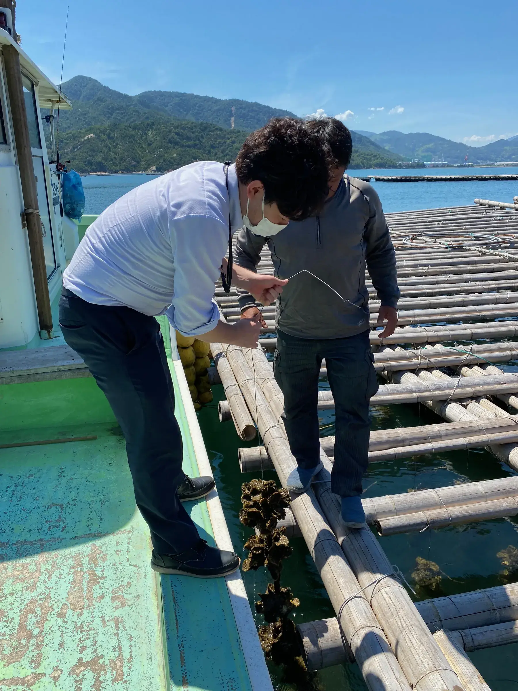
Checking an oyster rope from the boat

Helping small boats avoid each other (the phone as a beacon)

For small boats without AIS, we are considering a system in which smartphones running the app notice each other over Bluetooth and warn both boats as they get close.

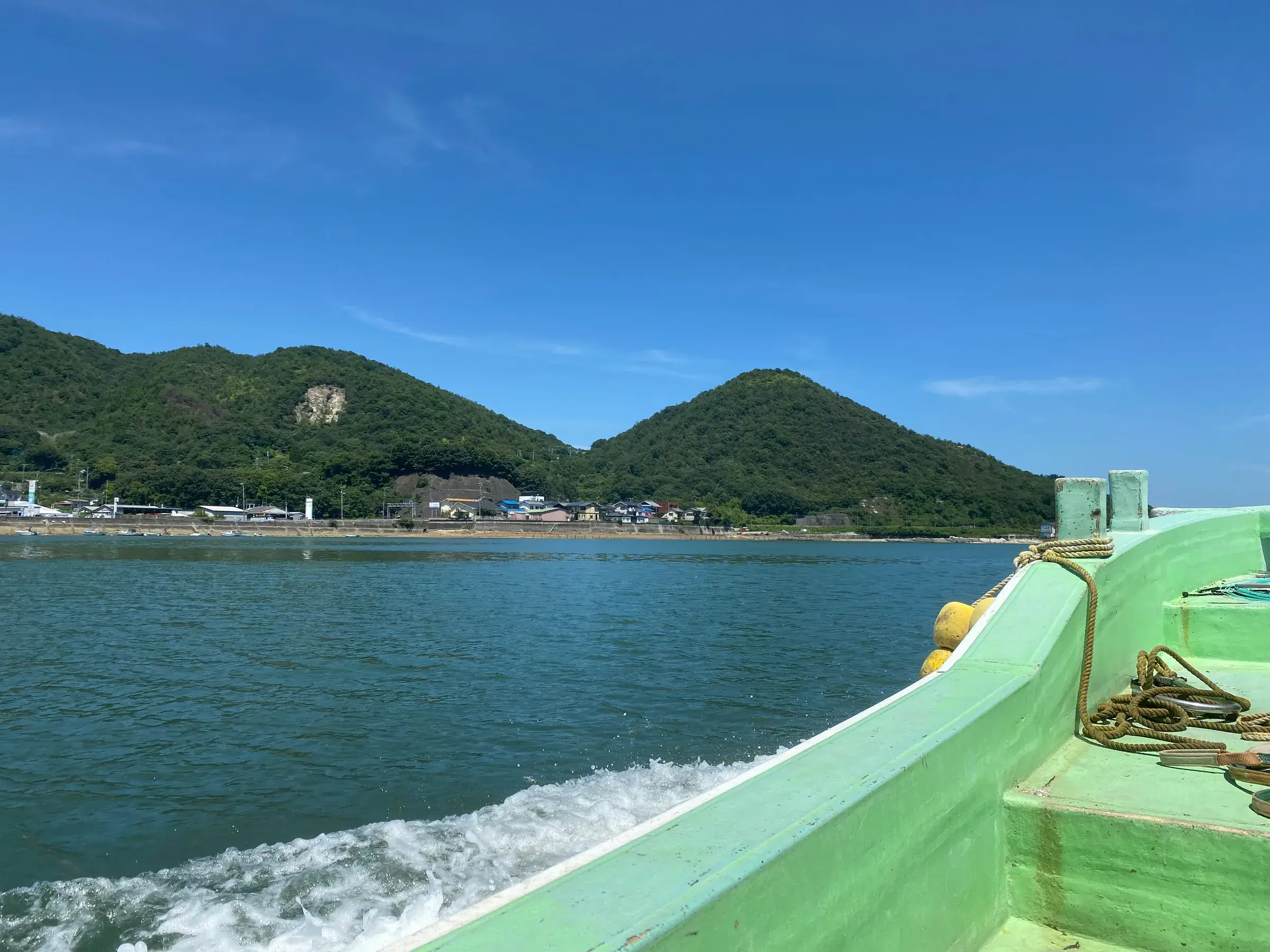
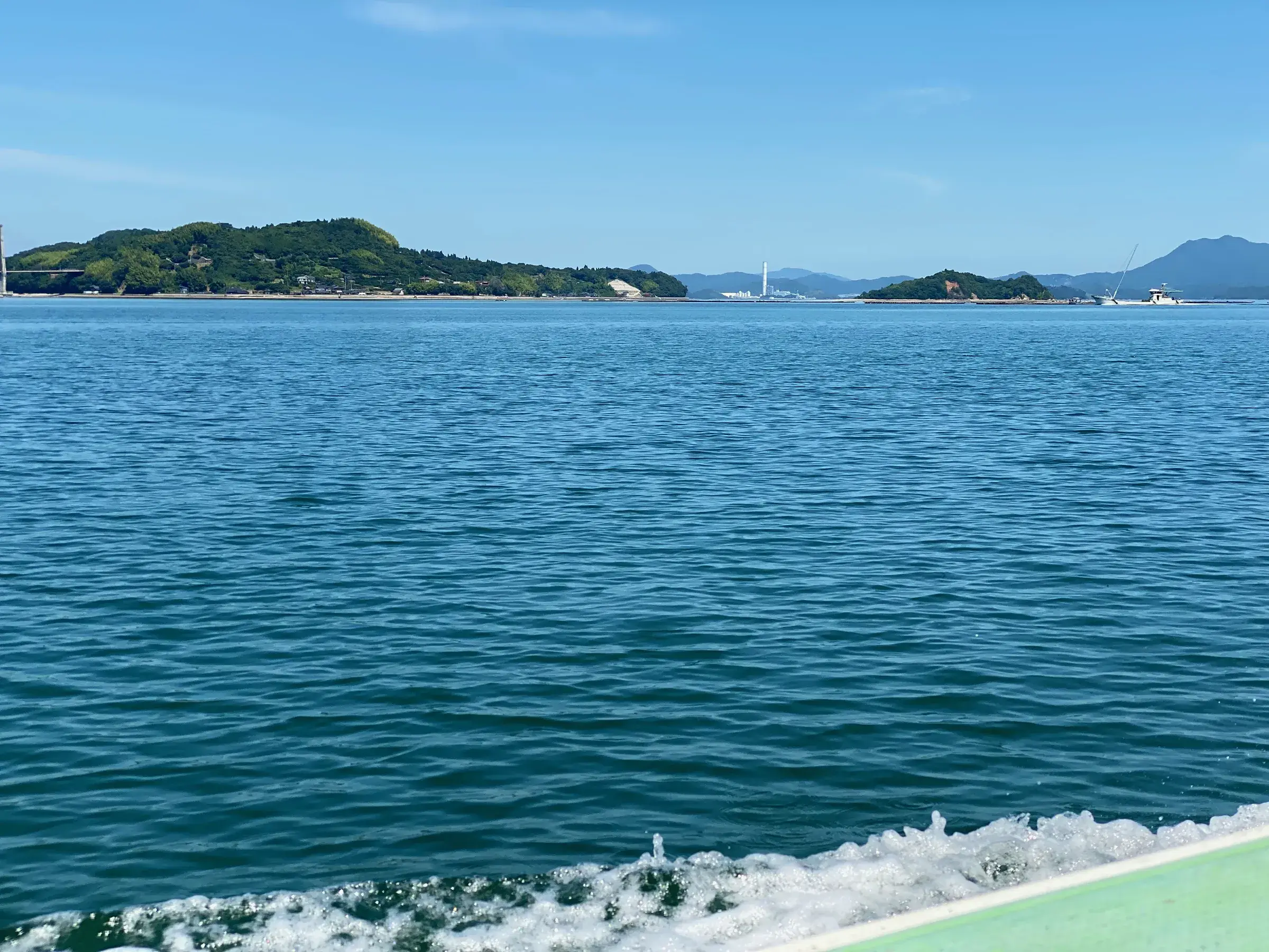
The sea and islands from a small boat, its white wake behind it

Obstacle data for autonomous ships

We are considering providing the data we gather on rafts and other obstacles to operators of autonomous ships and to makers of ship equipment. This is a concept for 2028 onward.

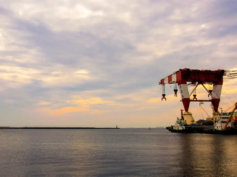
A crane barge on the water at dusk

Content last checked:

Tell us what you would like to try with this use, or what is going wrong.