SeatecHIROSHIMA Ltd.
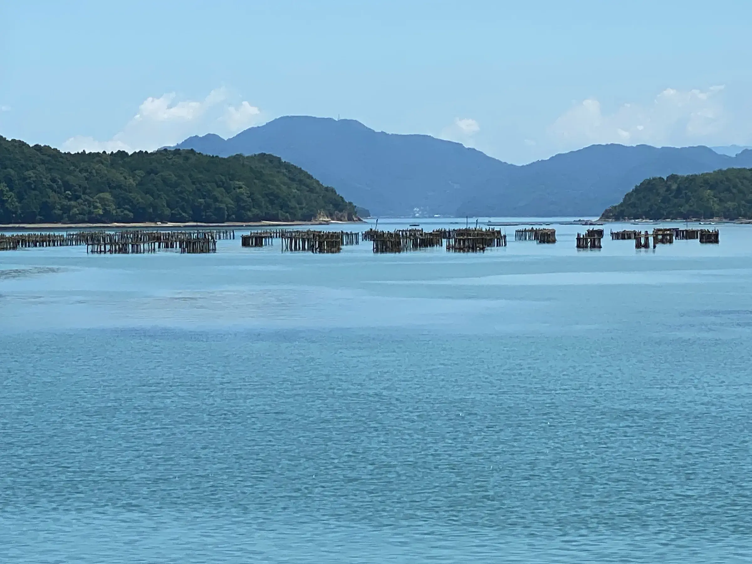
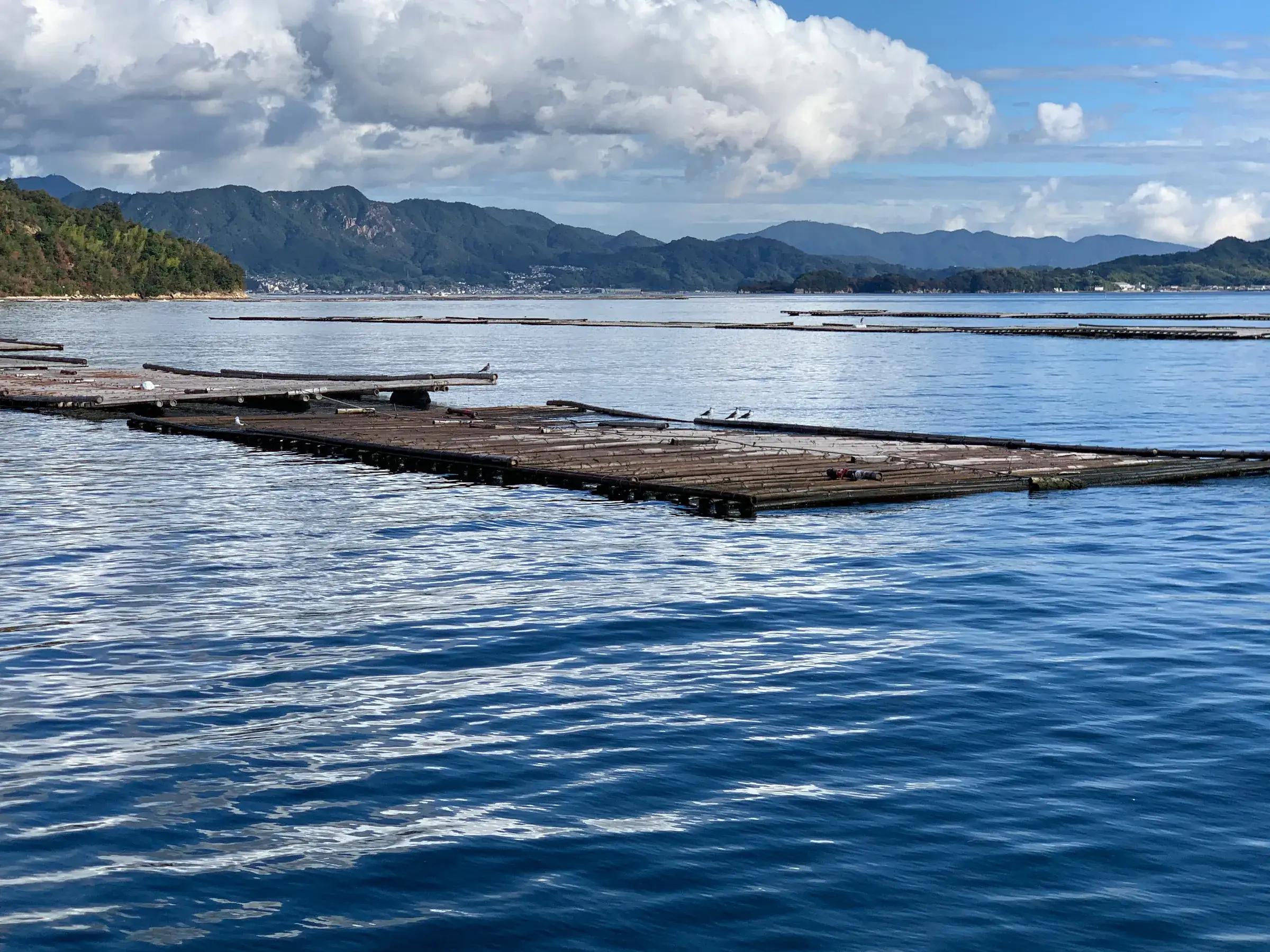
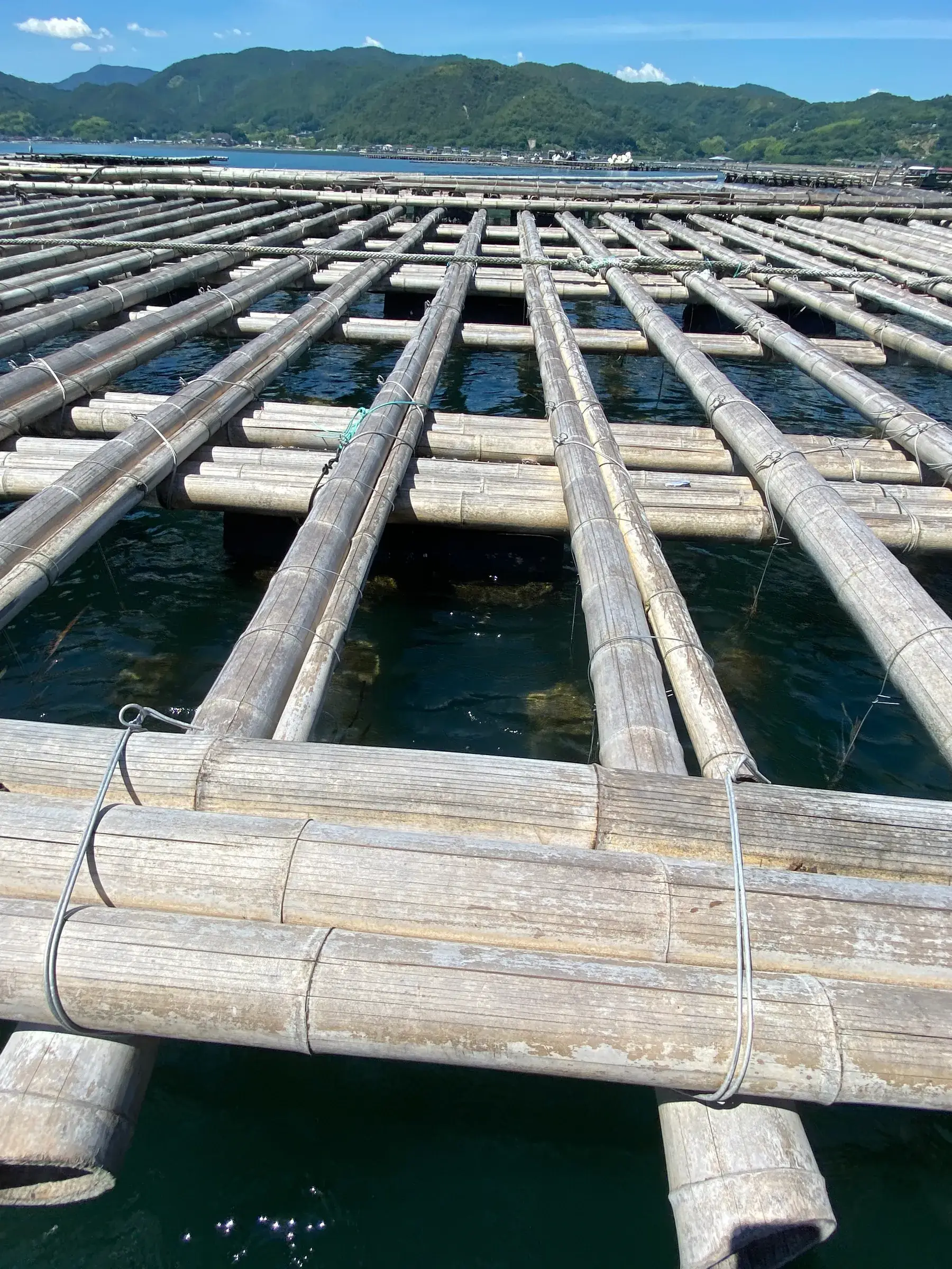
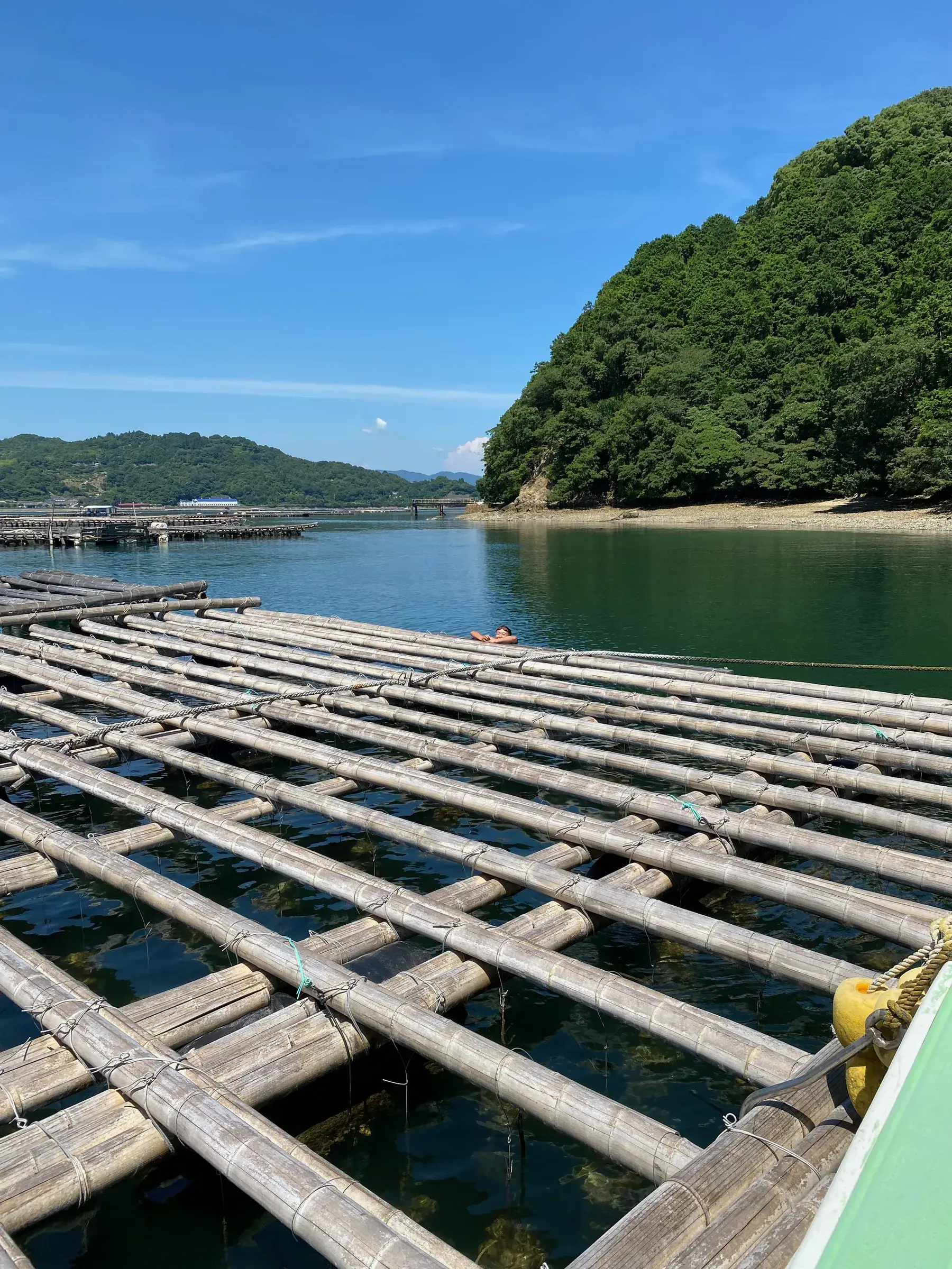
Other aquaculture waters (pearl and fish farming in Ehime and elsewhere)
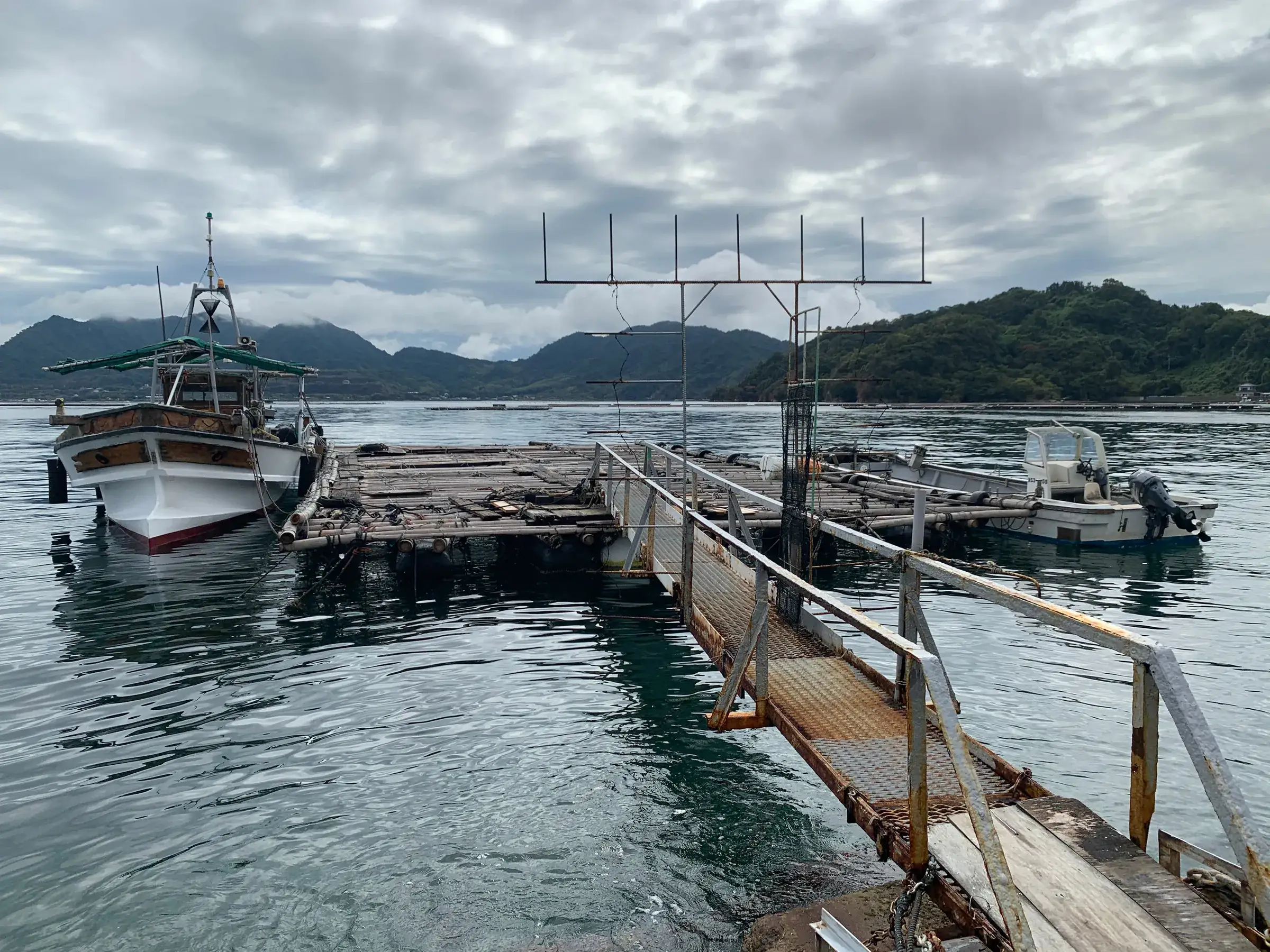
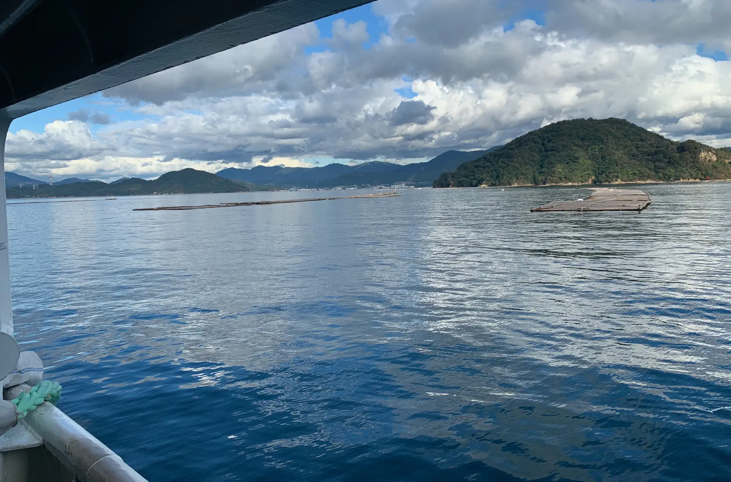
We are considering taking the raft mapping we began with oyster rafts to other aquaculture waters, such as pearl and fish farming in Ehime.
Talk to us about “Other aquaculture waters (pearl and fish farming in Ehime and elsewhere)”